
The Geology of the Serengeti ecosystem comprises a high interior plateau, rendering picturesque sceneries of stunning landscapes and wildlife!
It drops from its highest domains in the highlands of craters at an altitude of 3,636 meters towards the Speke Gulf on Lake Victoria at 920 meters above sea level.
The Geology of Serengeti highlands is the outcome of the volcanic activity related to the Gregory Rift Valley plate tectonics. The site still has one active volcano—the Ol Doinyo Lengai—meaning ‘Mountain of God’ in the local Maasai language.
In this article, you’ll learn about the Geology of Serengeti National Park, including the famous word Kopje, soil and volcanic history, mountains and hills, the Serengeti rivers, and more!
Already sold? Check out our Serengeti Tours today.
Geology of Serengeti: Kopjes – historic rocks
Kopjes, pronounced as kop-eez, are ancient crystalline rocks that spur through recent soils and rocks’ surfaces. These stones give rise to black clay soils, which are impossible to drive over, including granite gneiss (eyes) and light-coloured sandy soils.


You can find these old rocks beneath the layers of volcanic ash and rocks, which form the soil of Serengeti National Park. A giant liquid granite bubble forced its way up from the molten rock below the crust of the Earth and into the Tanganyika Shield in the late Precambrian period.
The granite is broken by repeated cooling and heating under the African sun and weathered into fascinating shapes by the wind. Most Kopjes possess round boulders on them or are round themselves.
Kopjes are frequently called islands in a sea of grass and are the most distinctive components of the Serengeti National Park’s landscape. So be sure to call them that when cruising the African plains of the Serengeti.
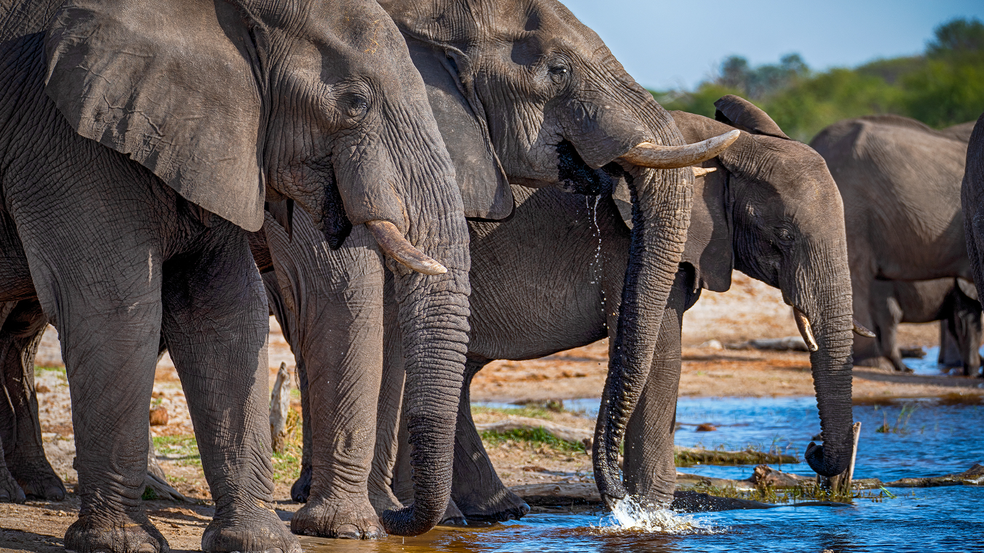
Furthermore, these ancient stones are home to many wildlife species, such as lions, cheetahs, leopards, and more, which can be found lazing on them, giving them a better view of the surroundings.
Geology of Serengeti: Soils and volcanic history of the Serengeti
An exciting part of Serengeti National Park’s geology is its soil and volcanic history. Africa is an old continent.
According to a source, it’s been called the Mother of all Continents, as it is the oldest occupied continent—much older than Europe and North America.


You can view this well as you arrive at the Kilimanjaro International Airport. Furthermore, due to the millions of years of weathering, the mountains have flattened and turned Africa into a string of endless rolling hills and Serengeti plains—except for the East African rift system.
The East African Rift is where two tectonic plates move away, creating cracks in the Rift Valley and the volcanoes on each side. These relatively young volcanoes have erupted, covering the eastern plains of the Serengeti National Park with volcanic ash and other large particles.
Mount Kilimanjaro, Mount Meru, and Mount Kenya are some of the best representatives of the rift volcanoes. Although the Ngorongoro crater seems like an extinct volcano, the Tanzanian geological survey stated that it never exploded, unlike its neighbours.
The volcanic ash erupted in the Serengeti plains created nutrient-rich soils containing sodium, calcium, potassium, and varied salt types. The soil here is shallow, forming a calcareous hardpan known as caliche.
During the regional rainfall patterns, the salts drift off and wash down into the soil. The soil in the Serengeti National Park then gets more profound, where the hardpan disappears into the woodlands and northern Tanzania plains due to more rain and less calcium.
Browse our Serengeti tours today.
Geology of Serengeti: Mountains and hills of the Serengeti
The Serengeti plains reveal a prominent westward slope, with decreasing elevations at approximately 1,850 meters near the Ngorongoro highlands and less than 1,000 meters to Lake Victoria—the only permanently flowing river in the Serengeti ecosystem. Nevertheless, bands of hills rise steeply from this moderately flat landscape.


One band constitutes the north-eastern Serengeti boundary in the woodlands, going north from Grumechen to Kuko, then merging at the Loita Hills in Kenya. The Gol Mountains grow from the Serengeti Plains’ east park.
However, the most notable landforms are linked with the East African Rift System (EARS)—particularly the eastern branch, the Gregory Rift, a relatively recent geological phenomenon comprising intensive volcanism.
The Gregory Rift Valley is a narrow, linear, down-faulted component fringed by massive ridges with chains of primarily shallow, ribbon-shaped, alkaline lakes.
Browse our Through the Rift Valley tour.
Geology of Serengeti: The Serengeti rivers
The Serengeti’s geology comprises vast plains between 1,600 and 1,800 meters above sea level with several surrounding rivers. These rivers include the Mara River, Grumeti River, Naironya River, Nanyuki River, Mbalageti River, and the renowned Seronera River, famous for wildebeest crossing the rocky river beds during the great migration.


The Mara River, for example, flows in the north from the Mau forests into the Kenyan highlands, then southwards through the Masai Mara, and next to west through northern Serengeti and then out through the great Masarua Marshes, and finally into Lake Victoria at Musoma.
It sustains the lush riverine forests on its banks in the Mara and its significant branches in the Serengeti. Parallel Grumeti and Mbalaget Rivers catchments can also be found South of the Mara, forming the western corridor of Serengeti National Park.
Furthermore, the smaller Duma, Semu, and Simiyu rivers flow south through the Maswa Game Reserve.
1. Serengeti habitat and landscape
The material under the earth in Serengeti is comprised of volcanic soils, which means the soil nutrient levels here are high. This has led to high soil fertility and significantly contributes to the grassland plains.
Another reason why wildlife can thrive here in these harsh conditions is.
2. Why does the Serengeti have no trees?
The hard layers of volcanic material and sedimentary rocks prevent trees from thriving throughout the soil. That said, several famous trees are in Tanzania. To learn more about them, click here.
3. What is special about Serengeti National Park
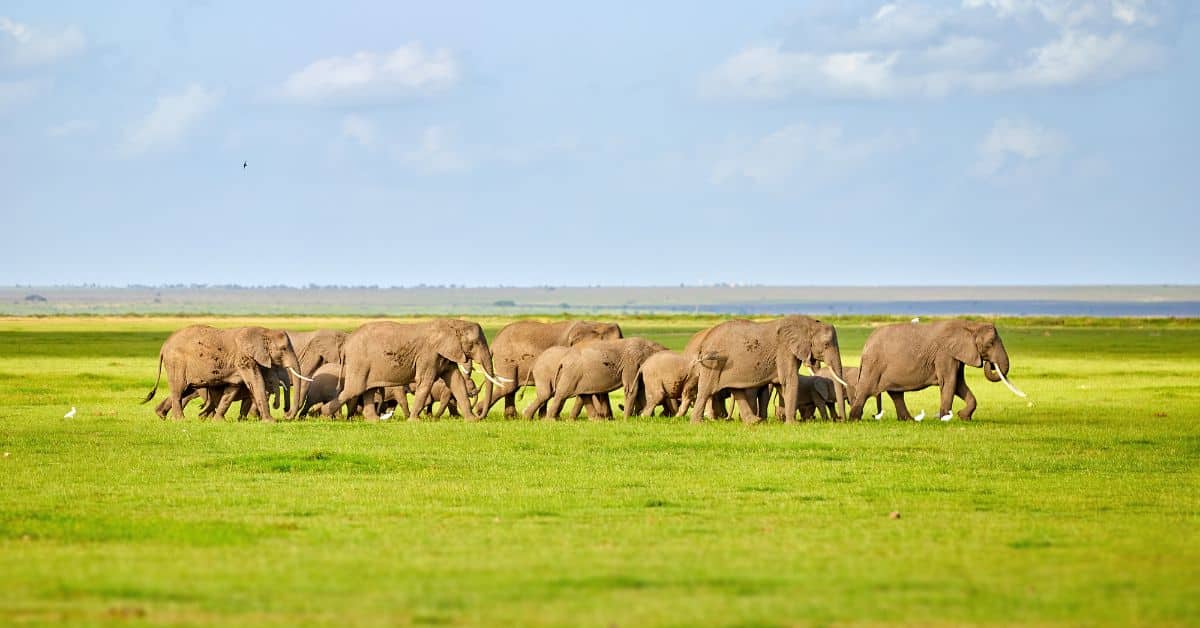
Serengeti is home to The Great Wildebeest Migration, an annual migration involving hundreds of thousands of wildebeest herds that move through Tanzania for fresh water and food.
Learn more about the Great Migration today.
4. How are kopjes formed?
Kopjes are formed when the granite layers are exposed after the ash and volcanic soil layers are removed from an area within Serengeti. The granite layers date back over 450 million years, making them one of the distinctive geological features of Serengeti.
5. What is the biodiversity of the Serengeti?
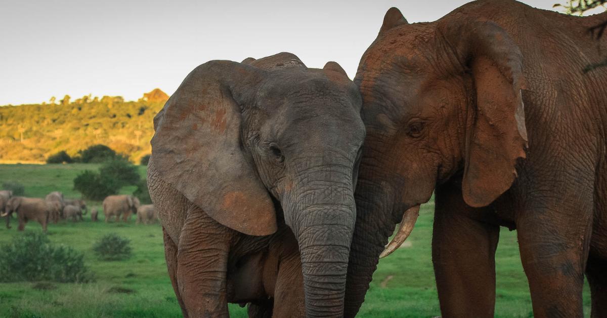
Serengeti has a large biological diversity and is abundant in wildlife. This Tanzania national park contains at least four endangered animal species, including the black rhino.
You can learn more about the animals in the Serengeti here.
Getting you there
The national parks, reserves, and conservation sites of central and Southern Kenya and Northern Tanzania reveal an expansive range of geological terranes with distinctive features that will blow your mind.
Regional plateaus, like the Serengeti and Tsavo Plains, are also typical of East Africa. They are underlain by some of the oldest stones on Earth.
If you plan to explore the endless plains of Serengeti and its geology, you can book a trip with Easy Travel today! We can help craft an ideal tour for you so you can witness the incomparable beauty of the wooded savannas and the migration of a whopping two million grazers influenced mainly by rainfall patterns without heavy planning on your part.
However, it’s important to note that the vast herds that concentrate for a pivotal period in the relatively arid eastern plains respond to recent geological events. Hence, seeing them as soon as possible is best for experiencing the incredible Serengeti with your own eyes!
Contact us today to start planning your experience of a lifetime.
Frequently Asked Questions (FAQs)
1. What geological features can be found in the Serengeti National Park?
The Serengeti National Park is famous for its diverse geological features, including ancient volcanic formations, rocky outcrops known as kopjes, and expansive plains formed by sedimentary deposits. These features have been shaped over millions of years through volcanic activity, erosion, and other natural processes.
The volcanic formations, like the Ngorongoro Crater, provide insight into the region’s volcanic history and offer stunning vistas. Kopjes, formed through erosion and weathering, serve as unique habitats for various wildlife species, contributing to biodiversity.
2. How were the kopjes in the Serengeti formed?
The kopjes dotting the Serengeti landscape resulted from millennia of geological processes, primarily erosion and weathering. Over time, softer surrounding rocks have eroded, leaving behind these distinctive rocky outcrops.
Kopjes serve as vital shelters and habitats for a diverse array of wildlife species, contributing significantly to the richness of the Serengeti ecosystem. Their rugged formations create picturesque vistas and provide unique wildlife viewing and photography opportunities.
3. What role do volcanic activities play in the geology of the Serengeti?
Volcanic activities have played a crucial role in shaping the geological landscape of the Serengeti National Park. Situated within the East African Rift, an active tectonic zone, the area experiences frequent volcanic eruptions and seismic movements.
Over time, these eruptions have deposited volcanic ash, enriching the soil and fostering diverse vegetation and wildlife habitats throughout the park. The unique geological features formed by volcanic activity, such as crater rims and lava flows, add to the park’s allure and ecological significance.
4. How does the geology of the Serengeti influence its biodiversity?
The Serengeti’s geological diversity gives rise to a rich tapestry of landscapes, from expansive grasslands to rugged rock formations. These varied habitats provide vital niches for many plant and animal life, contributing to the park’s exceptional biodiversity.
For instance, the nutrient-rich volcanic soils nourish lush grasslands, which sustain vast herds of grazers like wildebeests and zebras. The rocky outcrops, known as kopjes, serve as essential refuges and vantage points for predators such as lions and leopards.
Additionally, the wetlands support diverse bird species, while the woodlands offer shelter to numerous mammals and birds alike. Overall, the geological intricacies of the Serengeti create a dynamic ecosystem teeming with life.
5. What are the geological formations beneath the Serengeti plains?
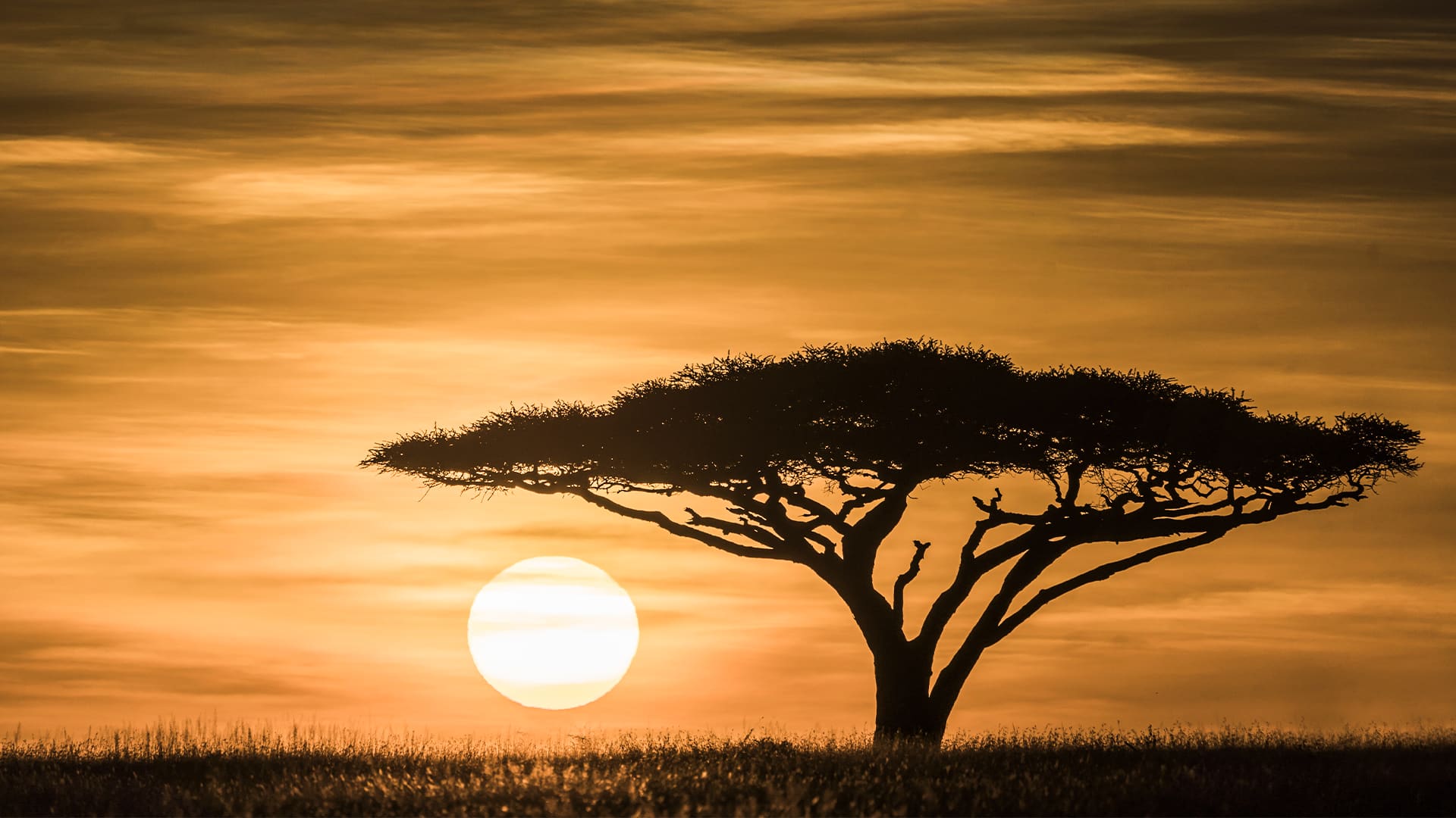
From its kopjes to volcanic formations, the Serengeti’s geological diversity shapes its captivating scenery and iconic vistas. The blend of rocky outcrops with vast savannahs dotted with acacia trees paints a picturesque landscape that mesmerizes visitors.
Key geological landmarks like the Ngorongoro Crater and Ol Doinyo Lengai volcano enhance the park’s charm, providing magnificent panoramas and prime photography spots. Exploring these geological wonders offers a deeper appreciation for the Serengeti’s natural beauty and ecological significance.
6. How does the geology of the Serengeti contribute to its scenic beauty?
The Serengeti’s geological diversity, including its kopjes, volcanic formations, and rolling plains, contributes to its scenic beauty and iconic landscapes. The contrast between rocky outcrops and open savannahs, punctuated by acacia trees and grasslands, creates breathtaking vistas that attract visitors worldwide. Geological features such as the Ngorongoro Crater and Ol Doinyo Lengai volcano add to the park’s allure, offering stunning views and photographic opportunities.
7. What geological processes have shaped the Serengeti over time?
Various geological processes have shaped the Serengeti landscape over millions of years, including volcanic activity, erosion, sedimentation, and tectonic movements. Volcanic eruptions have deposited layers of ash and lava, forming volcanic cones and shaping the region’s topography.
Erosion by wind and water has sculpted the land, creating valleys, gorges, and river systems. Tectonic movements along fault lines have also influenced the geological formation of the Serengeti and surrounding areas.
8. How does the geology of the Serengeti affect water sources and hydrology?
The Serengeti’s geology determines the park’s water sources and hydrological processes. Porous volcanic rocks and underground aquifers store water, providing vital groundwater for wildlife and vegetation during the dry season.
Seasonal rivers and streams flow through the park, following geological formations and shaping the landscape. Natural springs and wetlands sustain diverse ecosystems and support wildlife throughout the year.
9. What geological evidence of ancient human activity is found in the Serengeti?
Archaeological excavations in the Serengeti unearth evidence of human presence spanning millennia. Discoveries like stone tools, rock art, and burial grounds offer glimpses into ancient societies and their ways of life.
These findings deepen our understanding of the cultures that once thrived across the Serengeti landscape. Such archaeological treasures highlight the enduring connection between humans and this remarkable ecosystem.
10. How has the geology of the Serengeti influenced cultural practices and traditions?
The Serengeti’s geology has influenced the cultural practices and traditions of indigenous communities living in the region. The Maasai, for example, have a deep spiritual connection to the land and its geological features, viewing kopjes and volcanic formations as sacred sites. Traditional ceremonies and rituals are often performed at significant geological landmarks, reflecting the landscape’s cultural significance in Maasai society.
11. What geological threats does the Serengeti face?
Soil erosion, habitat degradation, and land fragmentation are significant geological threats facing the Serengeti. Human activities like agriculture, mining, and infrastructure development can exacerbate soil erosion and disrupt natural drainage patterns, resulting in habitat loss and reduced biodiversity.
Additionally, climate change exacerbates these threats by altering precipitation patterns and increasing temperatures, affecting water availability and ecosystem stability. Monitoring and mitigation strategies are crucial to preserving the Serengeti’s geological integrity and ecological resilience.
12. How is the geology of the Serengeti being studied and monitored?
Scientists and researchers employ various methods to study the Serengeti’s geology, including geological surveys, remote sensing techniques, and field investigations. These approaches help them understand the landscape’s formation and evolution over time.
They uncover the region’s intricate geological history through geological mapping, stratigraphic analysis, and radiometric dating. Additionally, monitoring programs are implemented to track changes in geological features, soil composition, and hydrological dynamics. This data aids in assessing the ecosystem’s health and guiding conservation efforts for the Serengeti’s geological heritage.
13. Can visitors learn about the geology of the Serengeti during their visit?
Visitors to the Serengeti can explore its geology through guided tours, signage, and visitor centres. Ranger-led activities provide insights into its geological history, natural phenomena, and cultural significance.
Exploring volcanic craters, rock formations, and fossil sites offers hands-on learning opportunities. It allows visitors to immerse themselves in the park’s geological diversity.
14. How does the Serengeti’s geology make it a UNESCO World Heritage Site?
The Serengeti isn’t just known for its beautiful scenery; its geology tells an essential story about Earth’s history.
With its ancient rocks and diverse ecosystems, it gives us clues about geological processes over millions of years. Protecting the Serengeti’s geological features is vital for scientific study and preserving its natural and cultural significance.
By taking care of its geological treasures, we ensure future generations can enjoy this incredible place.
15. What role does sustainable tourism play in promoting awareness of the Serengeti’s geology?
Sustainable tourism in the Serengeti promotes awareness of its geology while minimizing harm. Guided tours and educational programs highlight its significance, fostering appreciation and effectively supporting conservation efforts.
Sustainable tourism ensures the preservation of the Serengeti’s geological heritage for future generations by engaging visitors in responsible practices. By protecting the park’s natural resources, sustainable tourism initiatives contribute to the ecosystem’s and local communities’ overall well-being.